2007 Noto hanto earthquake (Mw = 6.7)


Report of field survey for 2007 Noto hanto earthquake (Mw = 6.7) [update 27/Mar./2007]
Date: 25-26/Mar./2007
Member: Prof. Yoshikazu Takahashi (DPRI, Kyoto Univ.), Prof. Akihiro Toyooka(Dept. of Urban Management, Kyoto Univ.), Prof. Hiroyuki Goto (DPRI, Kyoto Univ.)

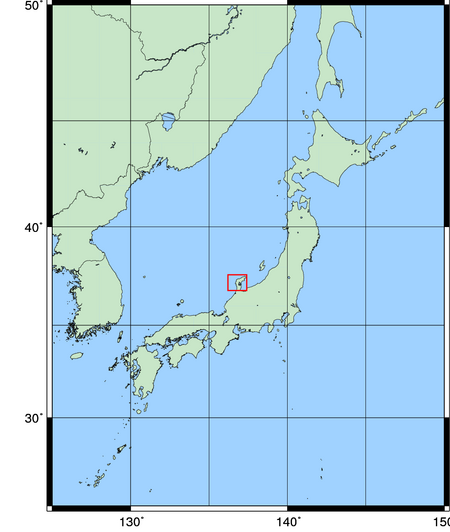
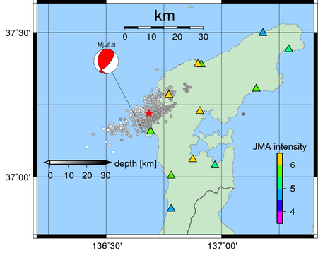
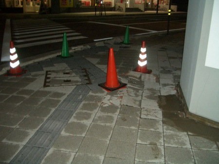
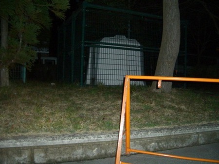
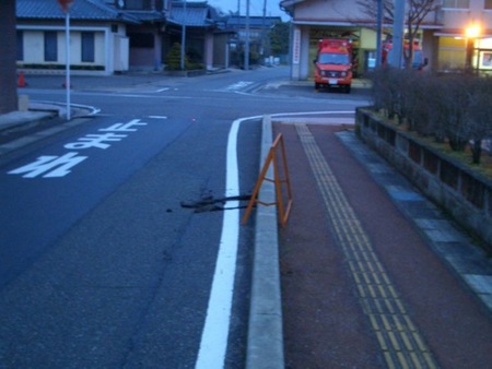
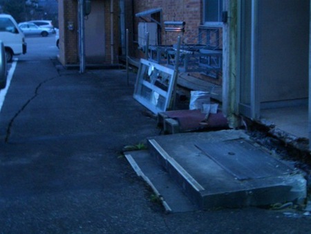
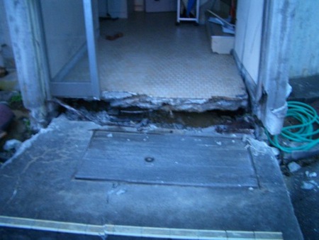
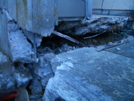
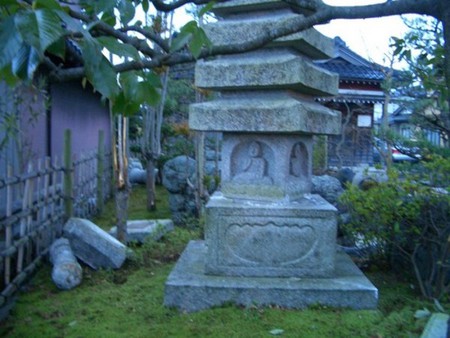
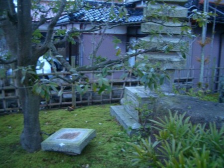
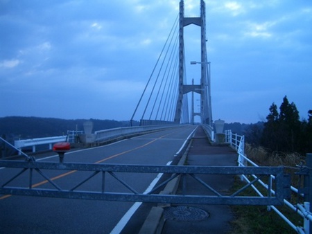
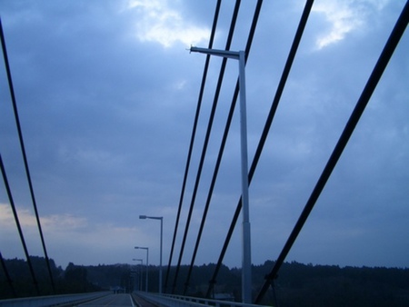
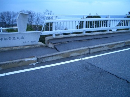
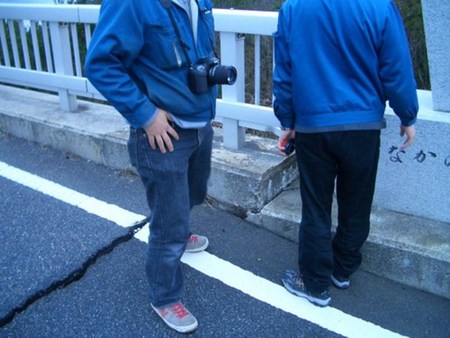
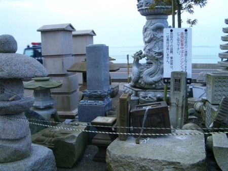
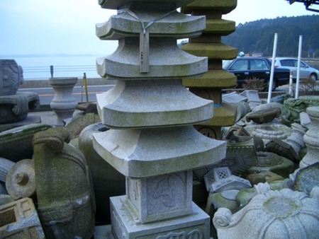
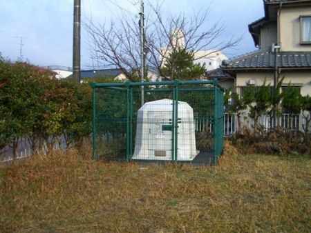
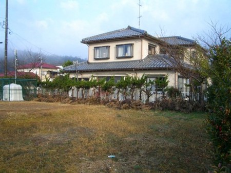
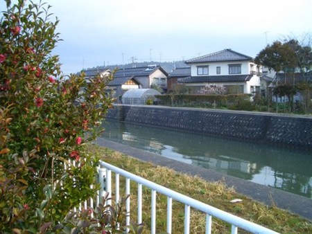
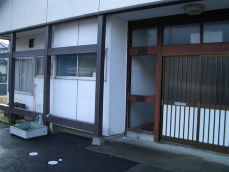
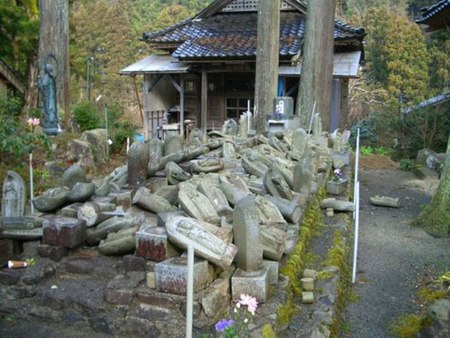
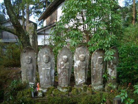
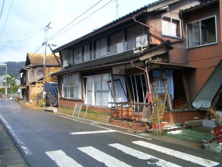
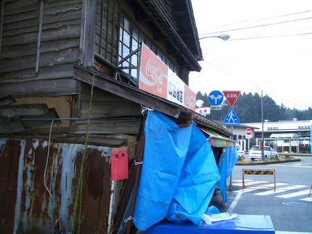
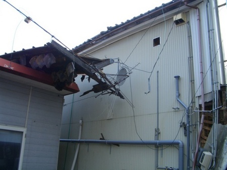
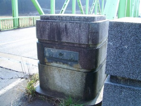
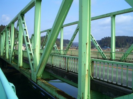
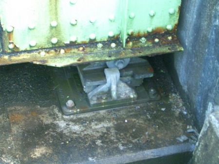
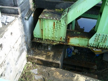
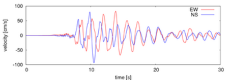
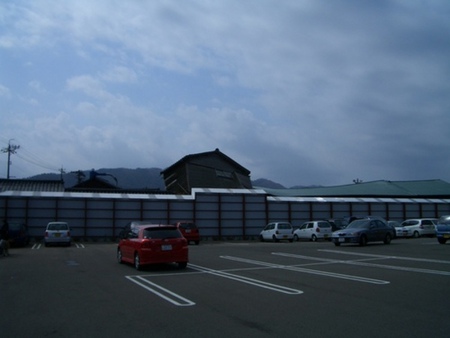
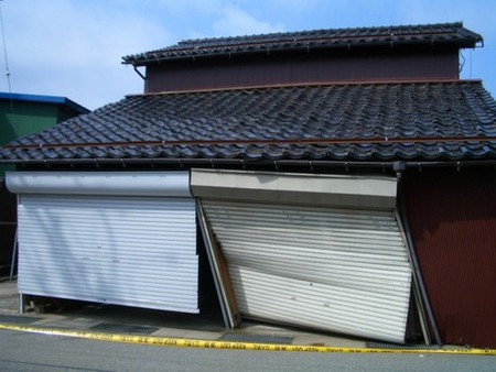
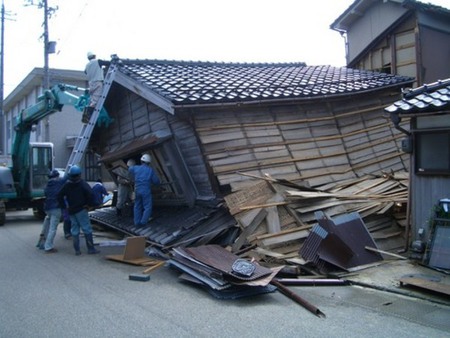
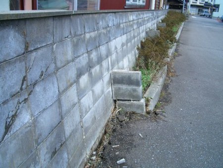
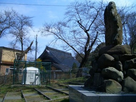
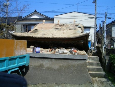
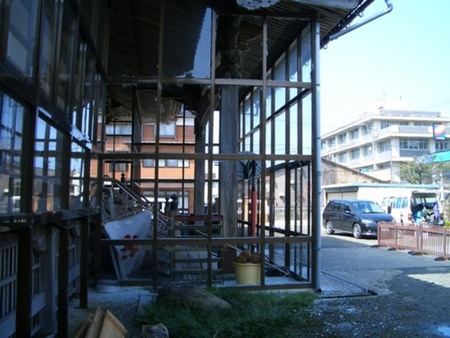
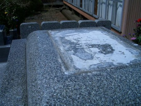
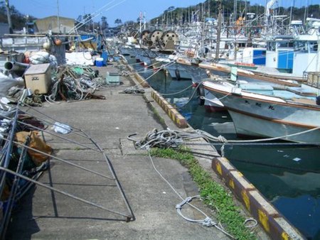
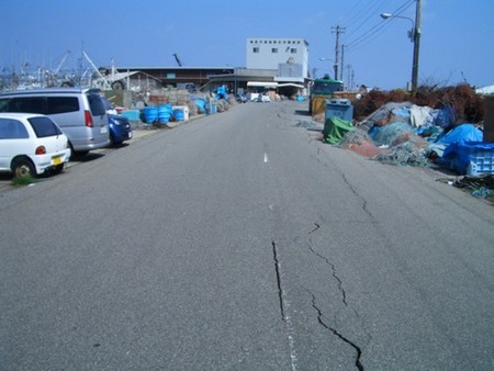
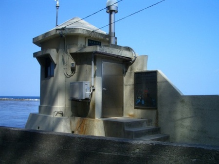
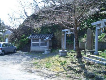
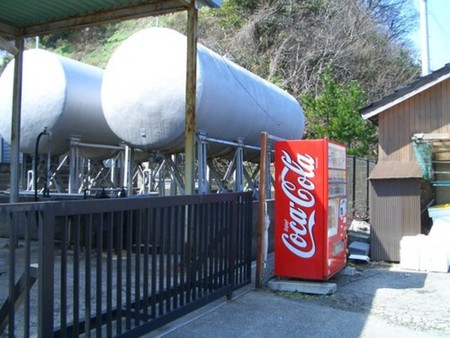
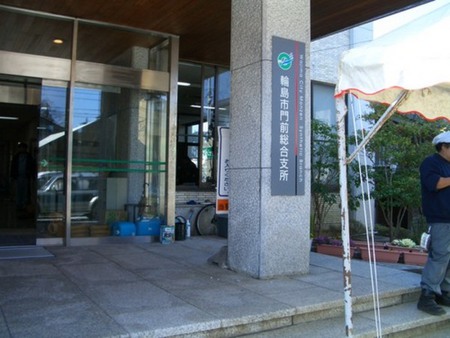
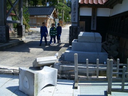
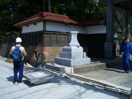
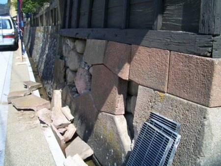
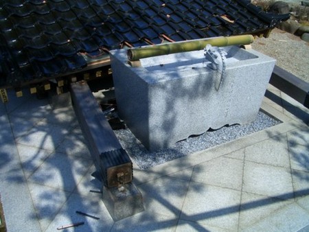
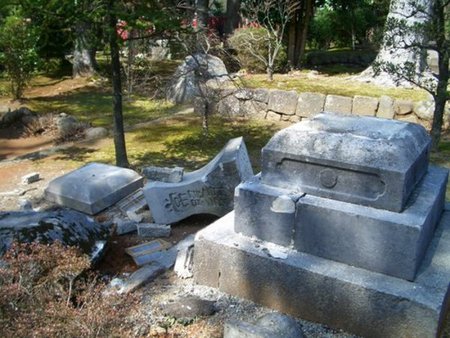
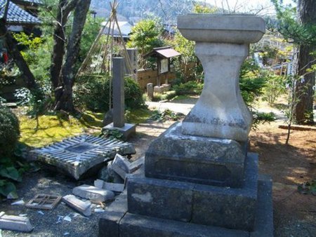
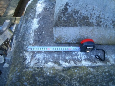
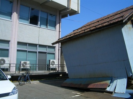
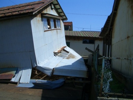
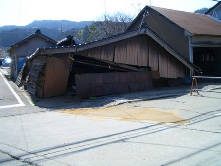
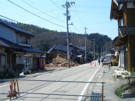
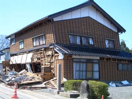
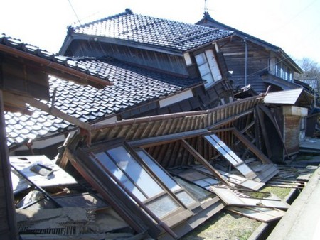
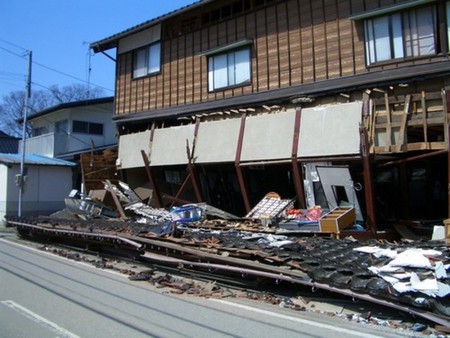
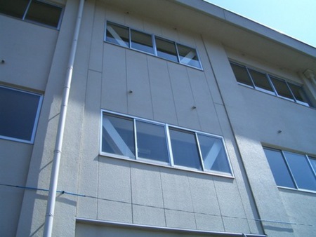
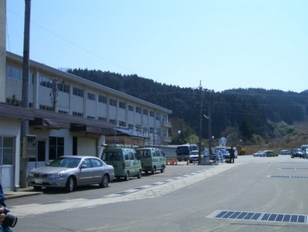
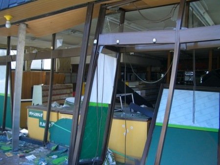
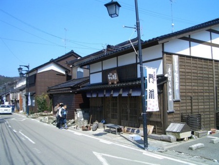
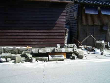
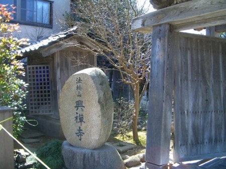
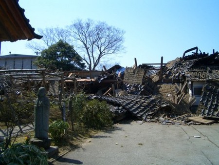
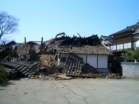
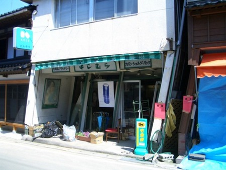
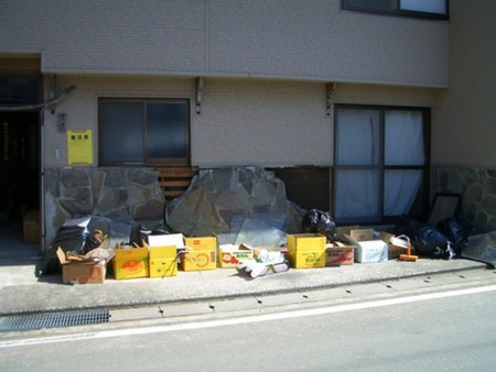
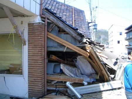
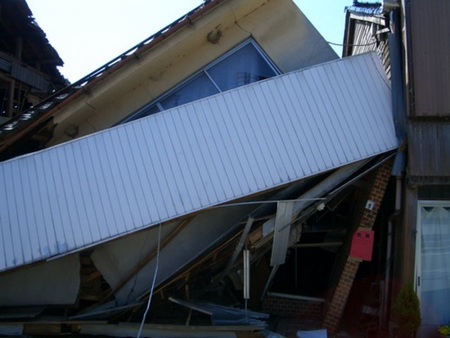
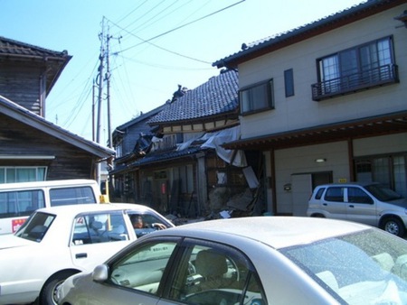
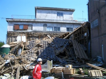
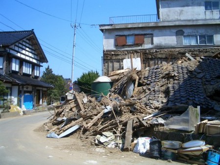
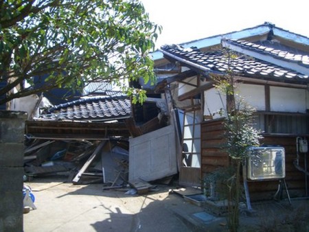
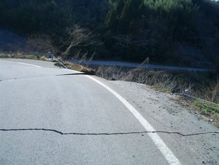
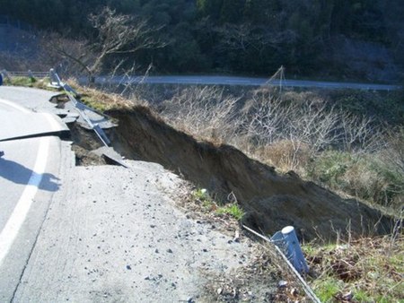
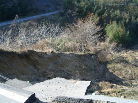
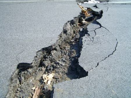
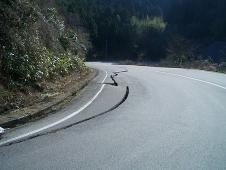
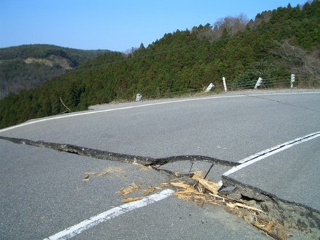
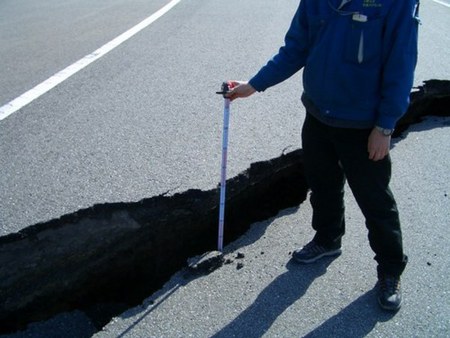
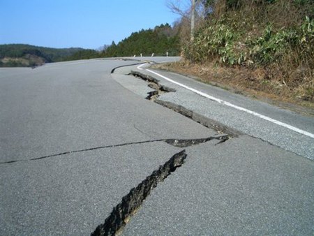
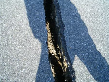
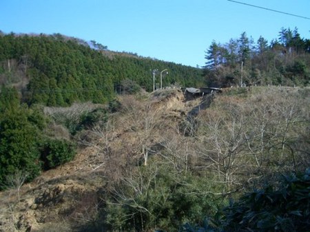
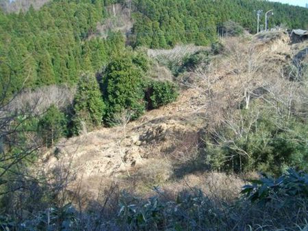
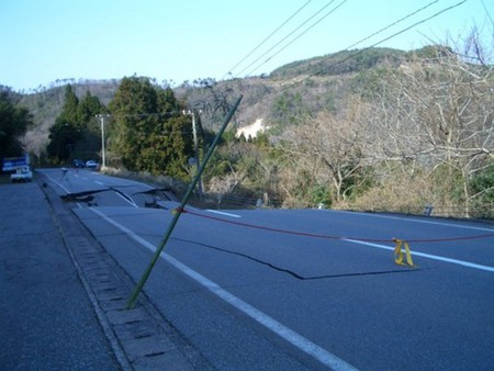
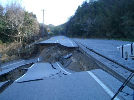
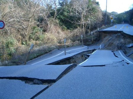
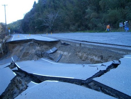
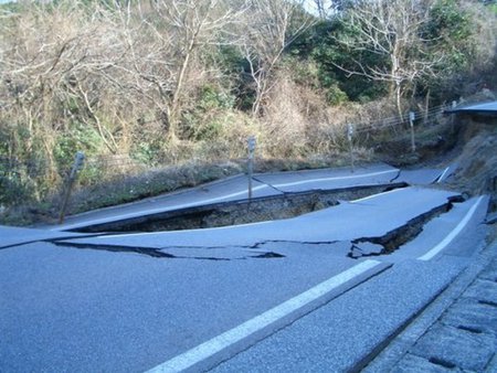
The magnitude 6.9 (JMA scale) earthquake struck Hokuriku District of main island Japan on 26 March, 2007, named 2007 Noto hanto eqrthquake. We briefly report the field survey at Noto region just after the earthquake.

Nanao

Small gaps between building and pave were observed at the building near JR Nanao station. We can not conclude that the spilled sands on the pave were the evidence of liquefaction.

K-net Nanao site (ISK007) is located around the Nanao city hall. This site observed 5+ of JMA seismic intensity scale.

The site located at Tazuruhama branch office obseved 6+ of JMA seismic intensity scale. Stone masonry rotated clockwise or fell down.

A bridge beam slided about 10cm displacement for the bridge direction. Two lamps fell down.

Anamizu

Stone masonries rotated clockwise and fell down.

K-net Anamizu site (ISK005) is located in the children's park. This site observed about 100 cm/s peak velocity.

Some stone guardians in the temple precinct scattered, however some of them still stands. Stone graves rotated clockwise.

Wooden houses collapsed at 100 m away in NE direction from JR Anamizu station. The area is quite concentrated.

A bridge beam slided a little, however we can not distinguish that the reason is the ground motions.

Wajima

Meteorologic station of JMA observed 6+ of JMA seismic intensity scale. A part of wooden warehouse and houses collapsed around the site. Some block walls were declined.

K-net Wajima site is located beside the approaching slope to the park. Bell house at the temple located 100 m away from the site collapsed.

Wajima port was slight damaged.

Monzen (Wajima)

The site located at Monzen branch office observed 6+ of JMA seismic intensity scale. Unfortunately, the waveform data disappeared.

Stone masonries collapsed at the temple in front of the branch office. Chozuya, cistern for hand washing, also fell down.

Collapsed wooden houses were located along the southern street of the branch, but the high scool building on this street was not damaged in appearance.

Collapsed wooden houses were also located along the eastern street of the branch

Shiga

Collapsed banks interrupted the national road.

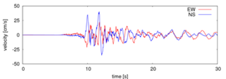
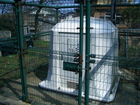
(Acknowledgement) We used K-net, KiK-net and Hi-net data from National Research Institute for Earth Science and Disaster Prevention. We thank many researchers for providing great information: Prof. Iemura (Kyoto Univ.), Prof. Sawada (Kyoto Univ.), Prof. Iwata (Kyoto Univ.) and Mr. Hukushima (JEC).

 
  Dynamics of Foundation Structures, DPRI, Kyoto Univ.
  Structural Dynamics Laboratory, Dept. of Urban Management, Kyoto Univ.